TPE Web 4.5 Beta 1
The first TPE Web 4.5 beta is now available. The headline feature is a major addition to the 3D First Person View: Google Photorealistic 3D Tiles.
New: Photorealistic 3D
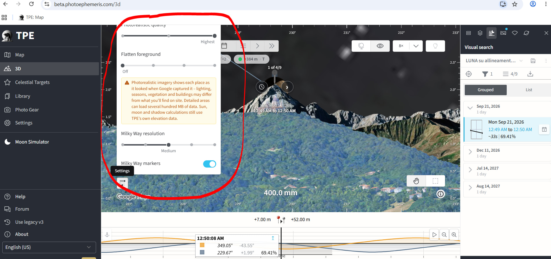
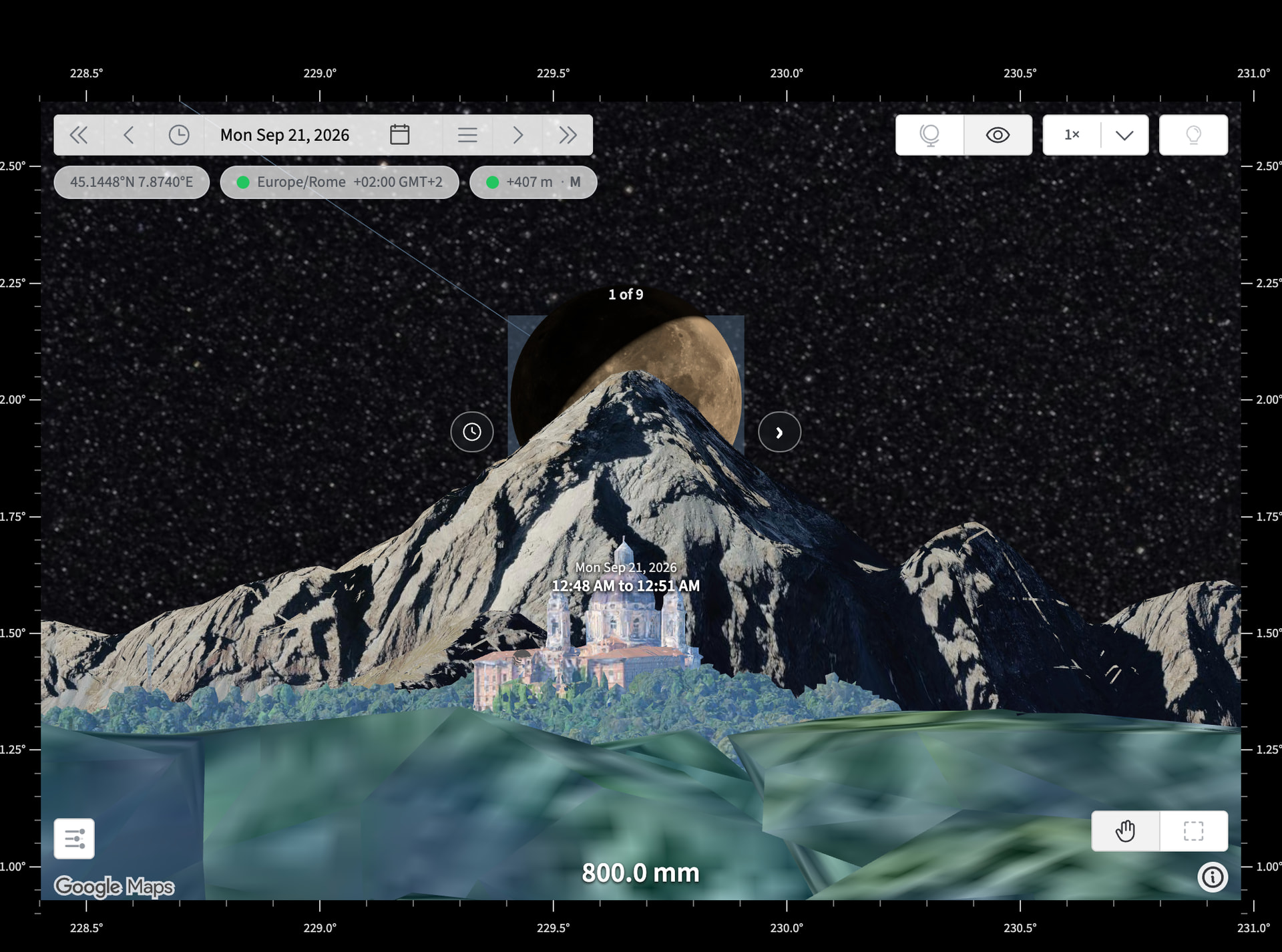
MAX subscribers can now switch the ground in the First Person View between TPE’s existing modelled terrain/buildings and Google Photorealistic 3D. Use the settings button at the lower left of the /3d page main view, just above the the Google Maps logo in the screenshot above.
Photorealistic 3D uses the same underlying 3D imagery technology and elevation data as Google Earth, bringing real-world buildings, trees, vegetation and rock formations into your shot planning.
TPE’s calculated Sun and Moon positions are rendered directly into this environment, allowing you to explore alignments against a more detailed representation of the real skyline and surroundings.
A new detail setting lets you choose between Performance, Balanced and Highest quality. Be aware that the Highest setting can download several hundred MB of 3D data in detailed locations.
A few important things to bear in mind:
- Photorealistic imagery represents the location when Google captured it, so seasons, vegetation, buildings and lighting may differ from current conditions. I hope to add support for modified lighting and shadows in the next beta release
- TPE continues to use its own elevation data for Sun, Moon and shadow calculations elsewhere in the app.
- Where Photorealistic 3D coverage is unavailable, TPE automatically falls back to its standard terrain.
- Photorealistic 3D is currently available in First Person View only; the Orbit view is unchanged.
New: Flatten Foreground
Photogrammetry can sometimes represent water poorly, particularly in the foreground, creating artificial lumps or ridges that obstruct the view.
A new Flatten foreground control lets you flatten the nearby photogrammetric mesh to clear these artefacts. Near, Medium and Far settings control the extent of the flattened area.
Because this also flattens genuine foreground objects, it’s intended as a temporary planning aid and resets when the page is reloaded. Use it when you know for certain that you have a clear line of sight that is not reflected in the Google Photorealistic 3D data.
Fixes
- Improved timeline robustness. Invalid dates or timezone information can no longer cause the altitude timeline chart, or the surrounding page, to fail while rendering.
This is the first public beta of Photorealistic 3D, so I’m particularly interested in feedback on coverage, positioning accuracy, visual quality, performance and data usage, as well as any locations where the automatic fallback to standard terrain doesn’t behave as expected.
Visit beta.photoephemeris.com