Playing around with the 4.8 Beta and I noticed when you click on the Elevation button there are 5 different sources to choose from, which is the most accurate and which do you recommend using, does the accuracy change depending on the map you’re using? I looked in Help but couldn’t find anything when I searched for Elevation Sources.
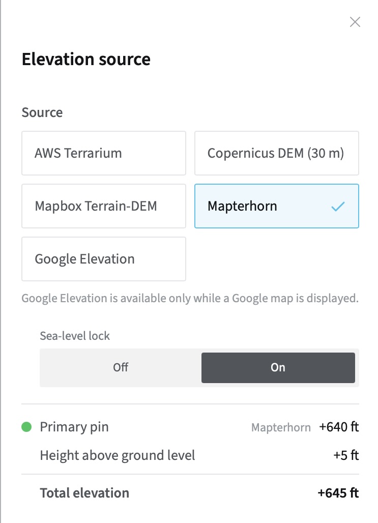
Generally, Mapterhorn is the best choice for MAX subscribers. It has the highest resolution and the most modern data in most cases.
Google is also excellent, but it can only be used in conjunction with Google Maps, which is limiting for many of the tools (e.g. visibility, viewshed, alignment etc.)
If you’re ever comparing with other sources that use AWS Terrarium or Copernicus, for example, the ability to switch into those can be useful, but generally I’d recommend Mapterhorn as the daily “go to” choice.
Stephen
1 Like